EG Mobile

Info
Map Position    Cluster      Map Kind:
show map
AreaCommunityArea // Community

Kotyli

Community made up of Lower Kotyli (with the archaeological site of Lykaio mountain 3.5km SE), Lower Kotyli (along the road to Andritsaina), Palatou (small alpine hamlet) and the Stroggylo village (5km SW of Karytaina).

Rating

EG Editors:
Υοur Rating:
Users' Rating:
Popularity: 430

Attributes

Center : Kotylio (Lower)
2001 Population  : 206
Population 2011 : 82
Kallikratis Code : 40040207

 Less
 More
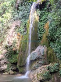
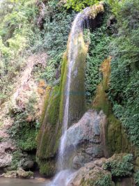
Gortyna - Vrontos waterfalls
Waterfall
ARKADIA, MEGALOPOLI, GORTINA
Kotilio
Village
ARKADIA, MEGALOPOLI, GORTINA
Great Spring - Kotilio
Spring
ARKADIA, MEGALOPOLI, GORTINA
Agios Dimitrios - Kotilio
Church
ARKADIA, MEGALOPOLI, GORTINA
Kato Kotilio
Village
ARKADIA, MEGALOPOLI, GORTINA
School - Kotilio
School
School
(School)
ARKADIA, MEGALOPOLI, GORTINA
Karia Spring - Kotilio
Spring
ARKADIA, MEGALOPOLI, GORTINA
Palatou
Village
Palatu
(Village)
ARKADIA, MEGALOPOLI, GORTINA
Agia Paraskevi - Kotilio
Church
ARKADIA, MEGALOPOLI, GORTINA


My Trip
0.0074 1.64MB